 View full size

- Remove this product from my favorites
- Add this product to my favorites
- Send to a friend

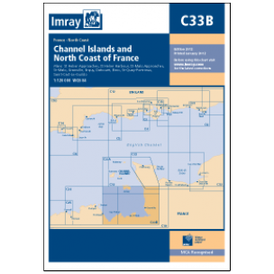
Imray C33B
None


 View full size
None
Shows the south coast of Jersey, and the associated west coast of the Cotentin peninsula, the Baie de Mont St Michel and the north coast of Brittany as far west as St Quay Portrieux. Scale 1:122,600. One-minute gridlines. Larger scale plans of St Helier approaches, St Helier harbours, St Malo harbours, St Malo approaches, Granville, Erquy, Dahouet, Portrieux and Binic. Tidal stream diagrams.

![]()


Follow us